


Since antiquity the seafarers used to determine the position of their ship in the open sea through the measurement of the angles that the celestial bodies formed with the horizon. The first instruments used for measuring these angles were the astrolabes. In most cases when using the astrolabe, simultaneous targeting was necessary both of the star and of the horizon, from the deck of the ship, thus often leading to inaccurate calculations. The application, which replaced the astrolabes was the octant, which was invented in 1731 by the British astronomer and mathematician John Hadley (1682-1744).
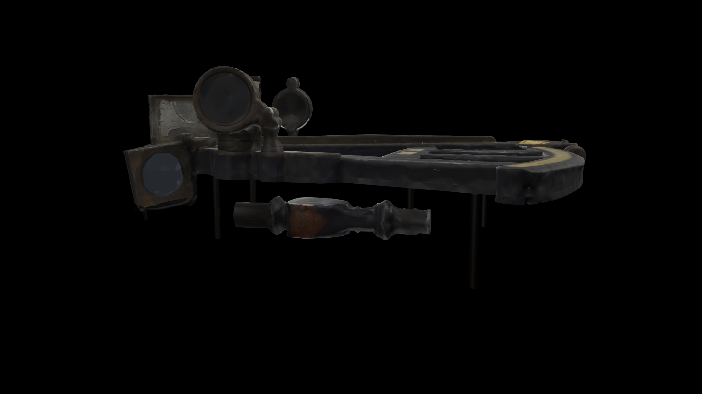
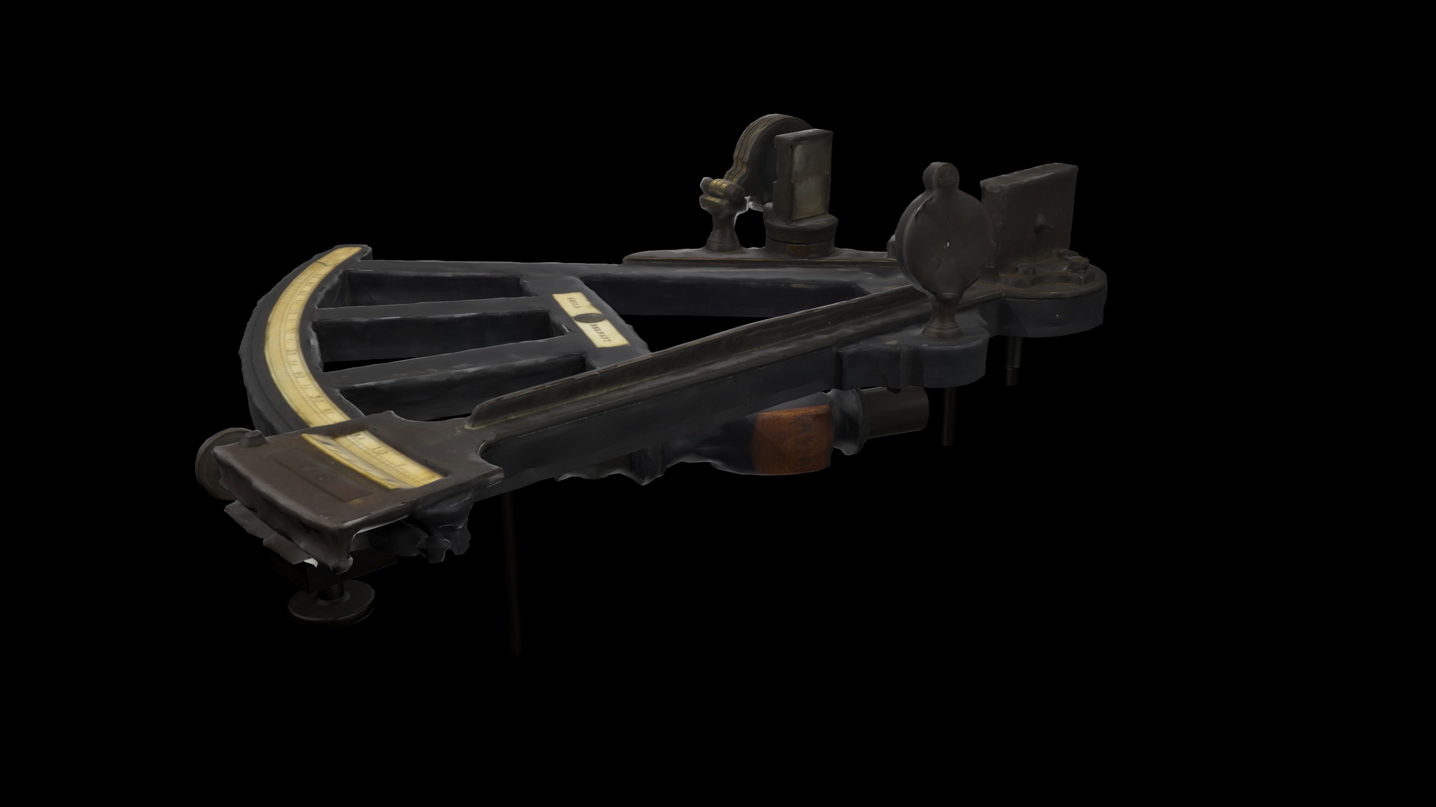
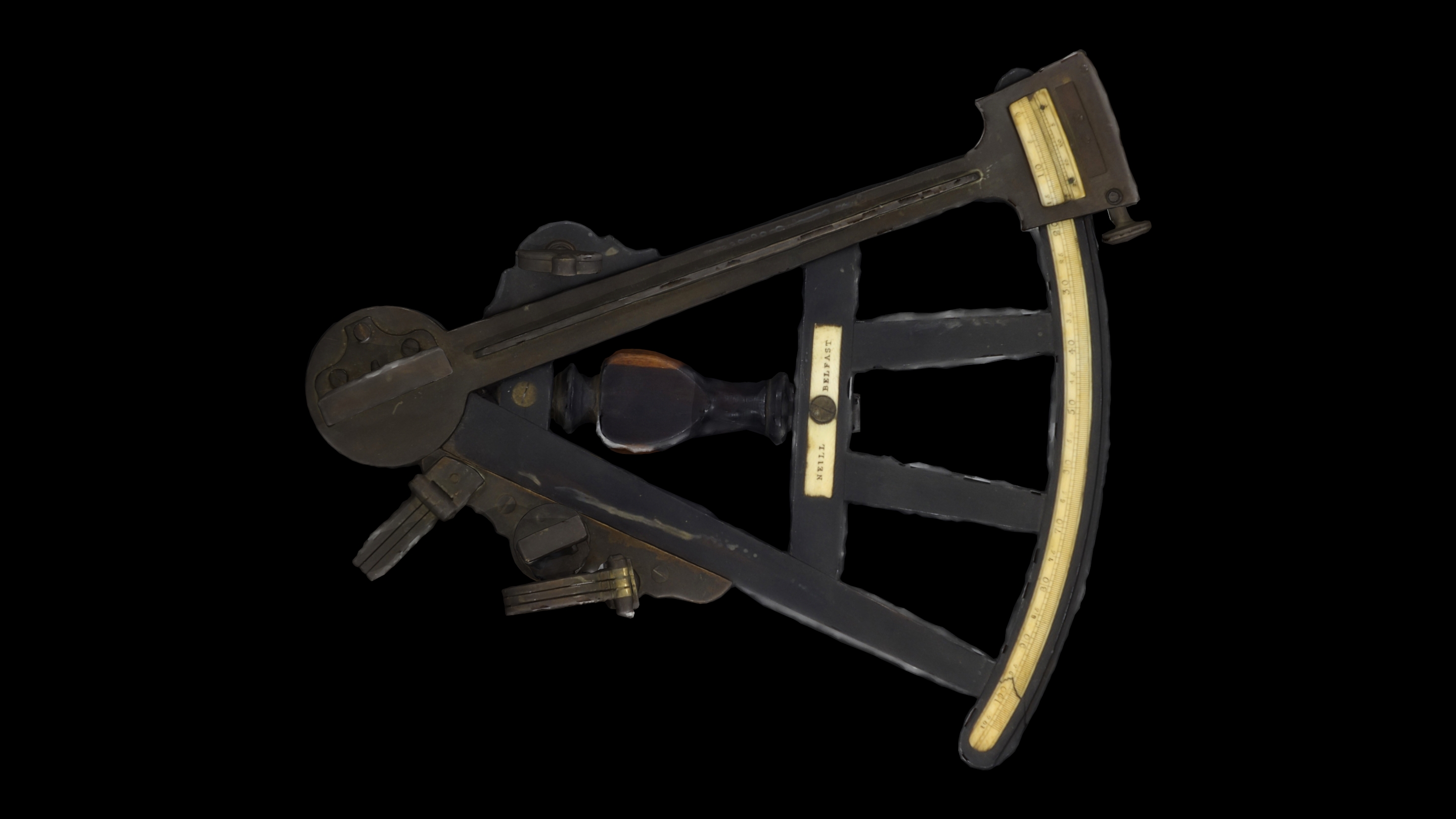
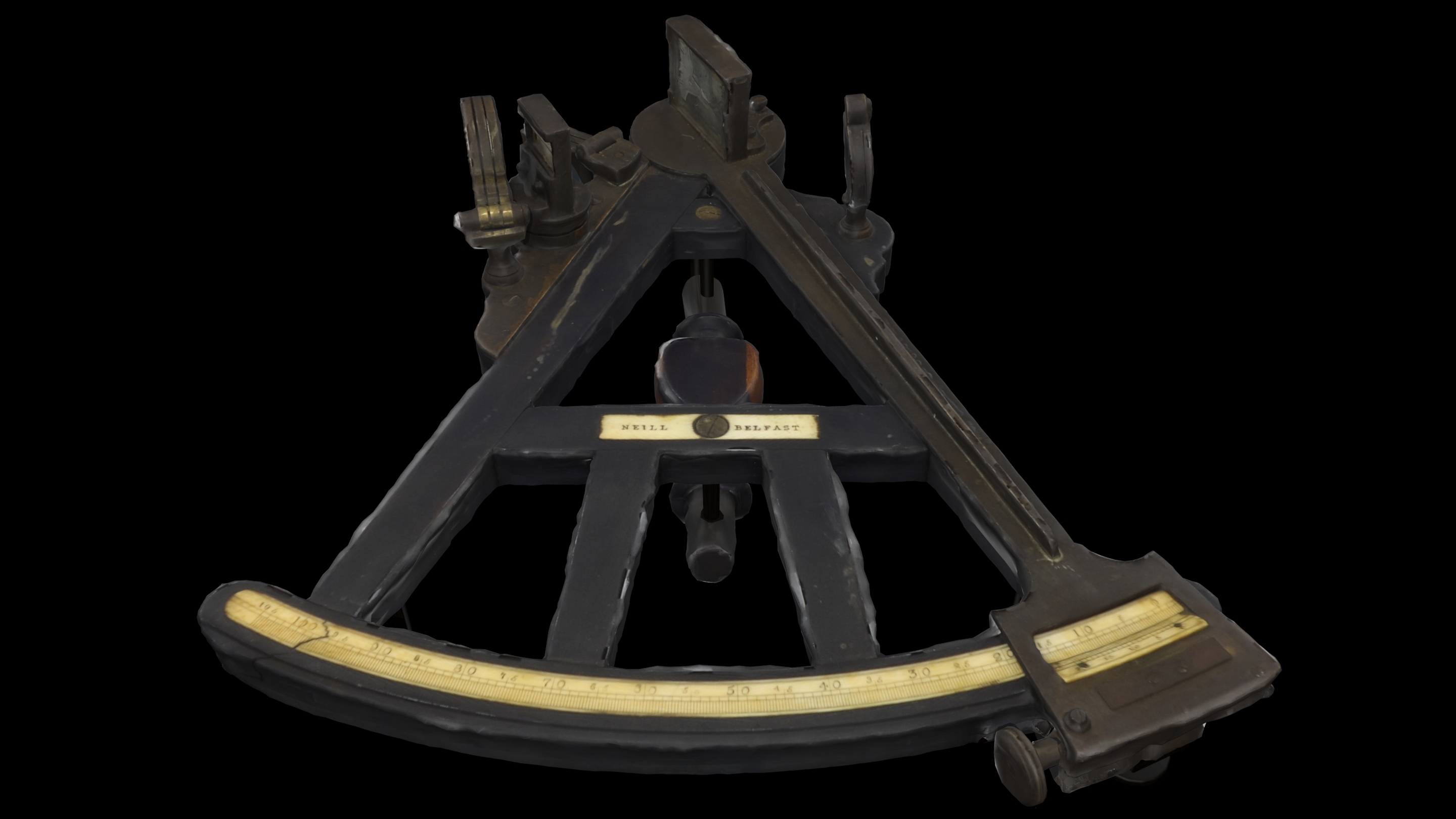
The octant consists of a fixed 45 degree arc, meaning one-eighth of the circumference of the circle, which is graduated / calibrated per one-tenth of a degree, by a rotating arm and by a system of mirrors. One of the mirrors is on the movable arm and can rotate in terms of the fixed graduated arc, giving an image of the celestial body, the arc of which is measured when this image coincides with the zone of the horizon. When measuring the angle of the sun with the horizon, meaning its height, during its «meridian passage», that is when the sun is on the highest point of its orbit, that angle corrected by simple tables according to the time of the year, gives the latitude of the observer, which is observed directly in the determination of latitude. This angle is used in determining latitude.
In order to find longitude, precise time and complex calculations are needed using tables.
For protecting the observer’s eyes from the intense light of the sun, octants and sextants also have removable filters to reduce the brightness of light.
Neill in Belfast was a notable manufacturer of octants and other navigational instruments, particularly during the 19th century. Neill produced high-quality octants, which were essential for sailors to measure angles between celestial bodies and the horizon. This measurement was crucial for determining latitude at sea.
The octants manufactured by Neill were known for their precision and durability, reflecting the skilled craftsmanship typical of the period. The company operated during a time when maritime exploration and trade were significant, making reliable navigational tools essential for safe travel across oceans.

