


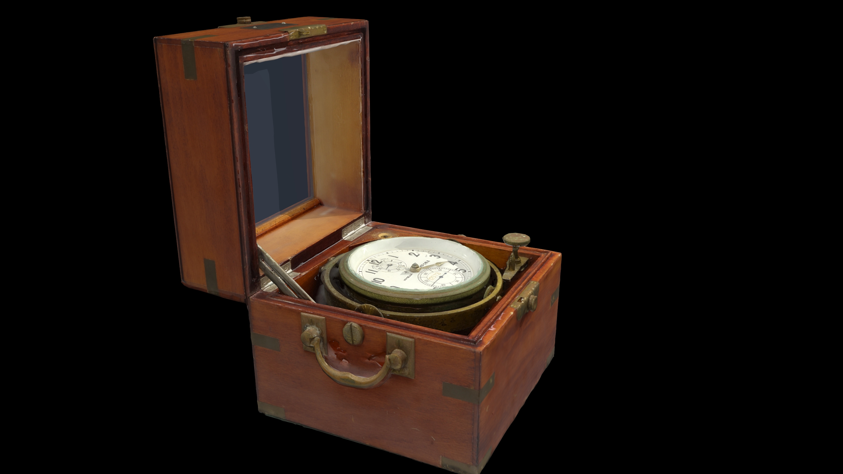
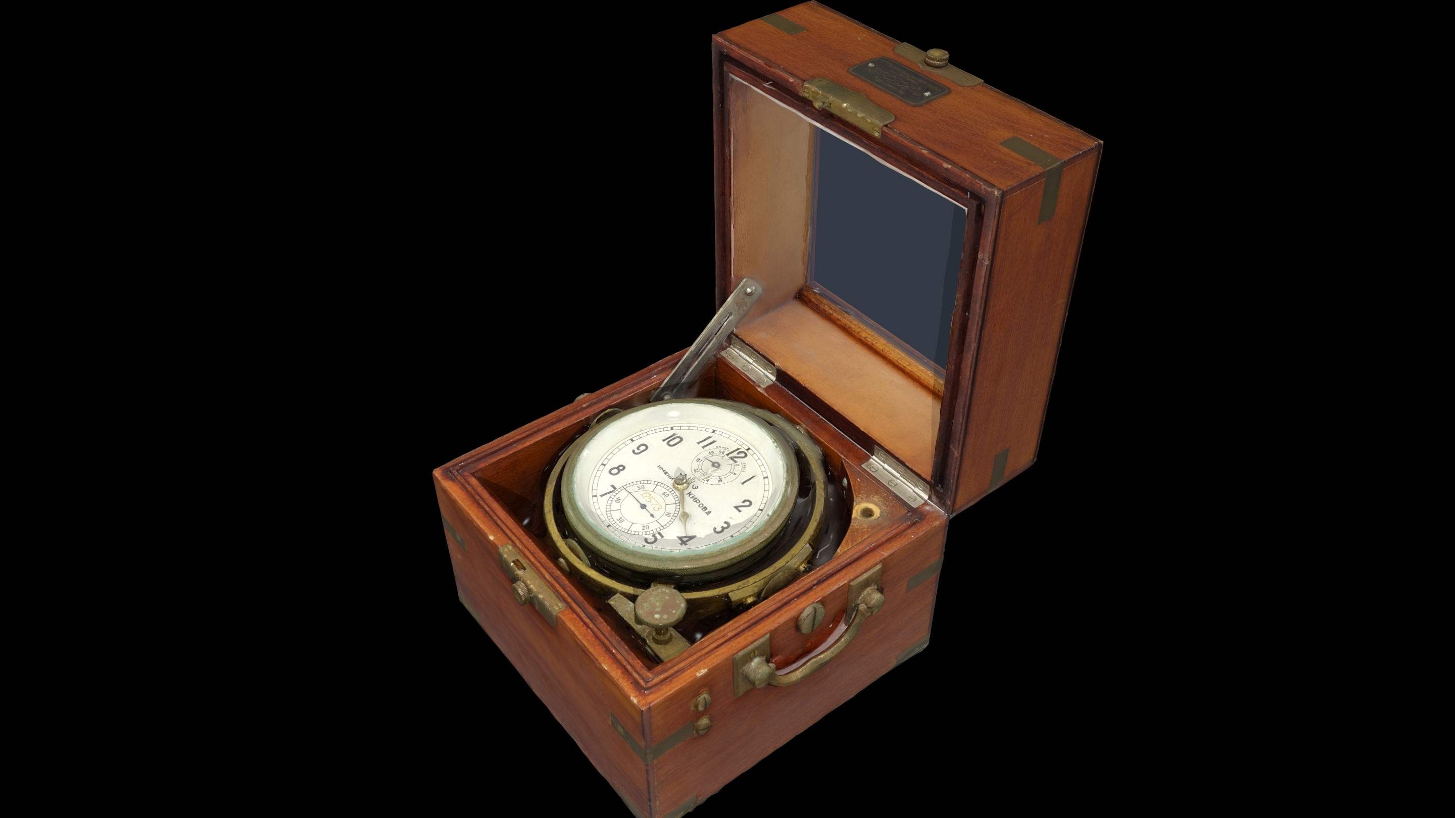
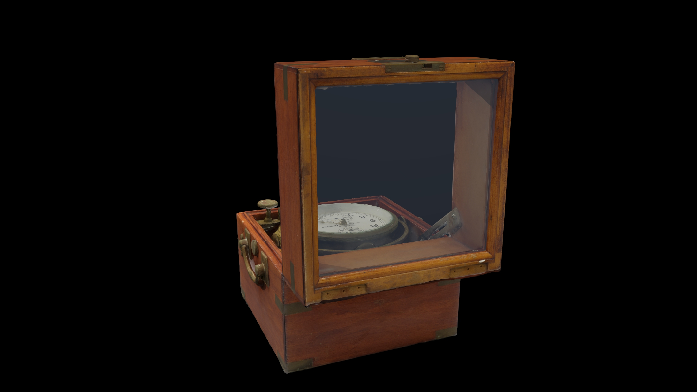
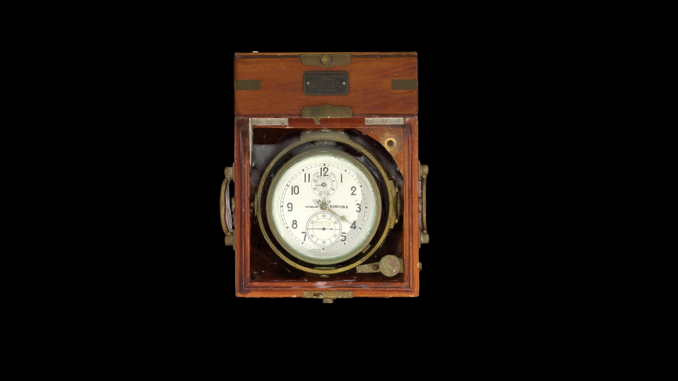
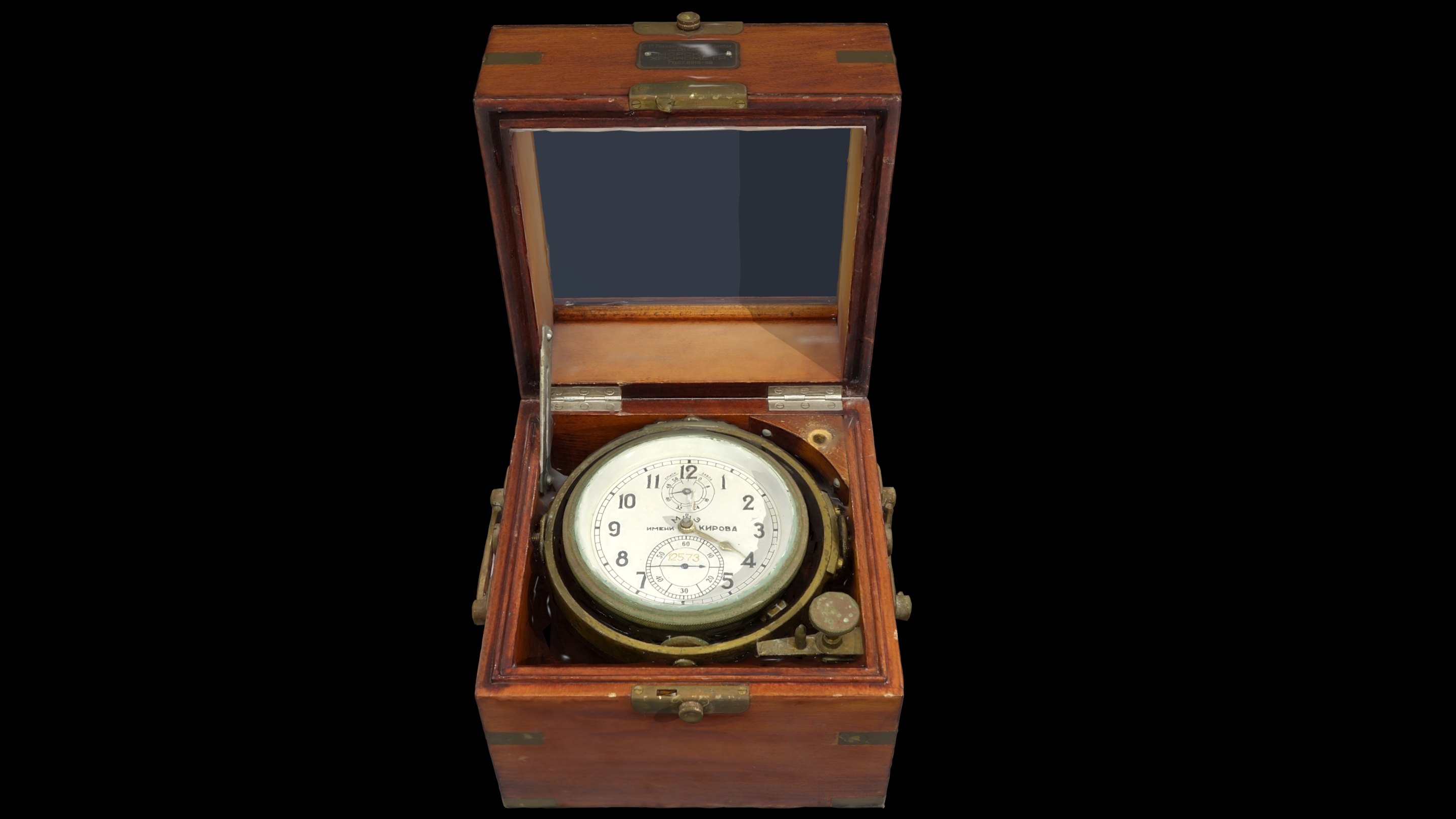
Marine chronometer is a precision clock, which is used for the determination of the ship’s position through astronomical navigation. Celestial navigation or astronavigation is generally defined as the method during which the safe navigation and, to a further extent, the geographical position of a ship is determined by the observation of celestial bodies. Celestial navigation differs from coasting in that the determination of the position occurs with the help of celestial bodies instead of land points and also in that it is applied in ocean navigation; that is, in navigations too far from the coast. Main instruments that were used in former times were the astrolabes and later on the quadrants, very soon were replaced by the sextants, which are used up until today.
The position of each observer on Earth is defined by geographical latitude and geographical longitude. Geographical latitude consists of parallel «slices» of Earth, which we can imagine as parallel planes to the equator. Thus, the latitude of a place can reach from zero, if one is situated in the equator, up to 90 degrees North or South, if one is found in the poles. The geographical longitude consists of circular sections on the Earth’s surface, which are defined by the poles and the place of the observer. The start of measuring the meridians has arbitrarily been defined as the position of the meridian of the Greenwich Observatory in England. Thus, the longitude of a place can take values from zero to 180 degrees East or West depending on the position of the observer.
The geographical latitude of the observer is measured by the sextant precisely at noon, during the meridian passage of the sun; that is, when the sun is located at the highest point of its orbit in the sky. The angle (height) of the sun from the horizon during its meridian passage, corrected with tables depending on the day of the year, defines the precise geographical latitude of the observer.
When it comes to measuring geographical longitude, things are not that easy. Although for convenience reasons we measure time by dividing the Earth in hour zones, in reality the sun rises at a different time in every place, depending on the meridian passing through that place. The chronometer is used for the determination of geographical longitude comparing the Greenwich Mean Time (GMT) with the time in the current location where the observer is found during the observation of celestial bodies. When developed for the first time in the 18th-century, it was an important technical achievement since accurate knowledge of time on a long sea voyage was of vital importance for accuracy in shipping without the use of electronic or communication aids. The first true chronometer, which could maintain accuracy over many days on a ship that moves with the waves, was the life work of an individual, John Harrison, which lasted 31 years of persistent experimentation and testing that revolutionized naval (and later aerial) navigation.

