


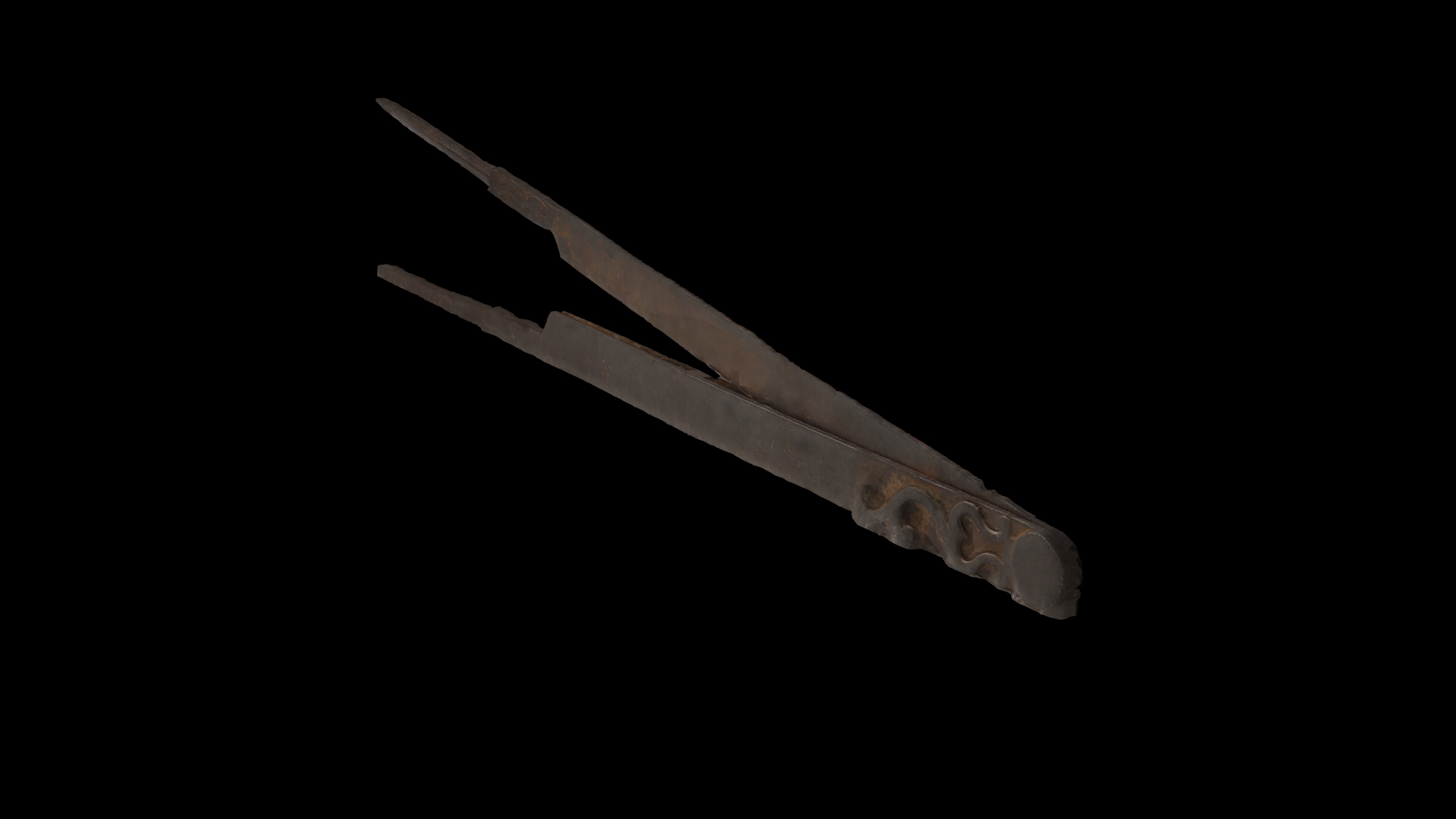
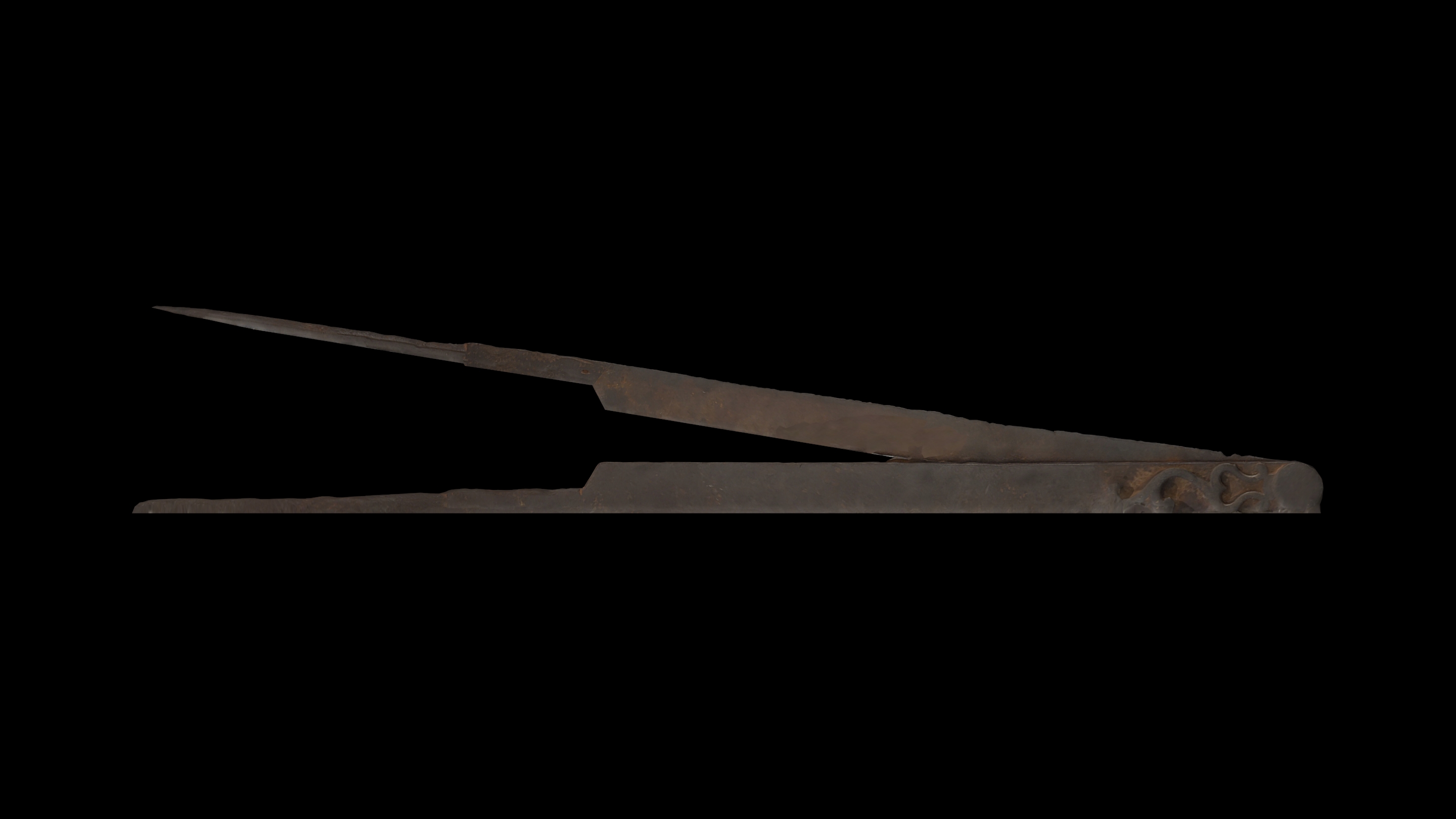
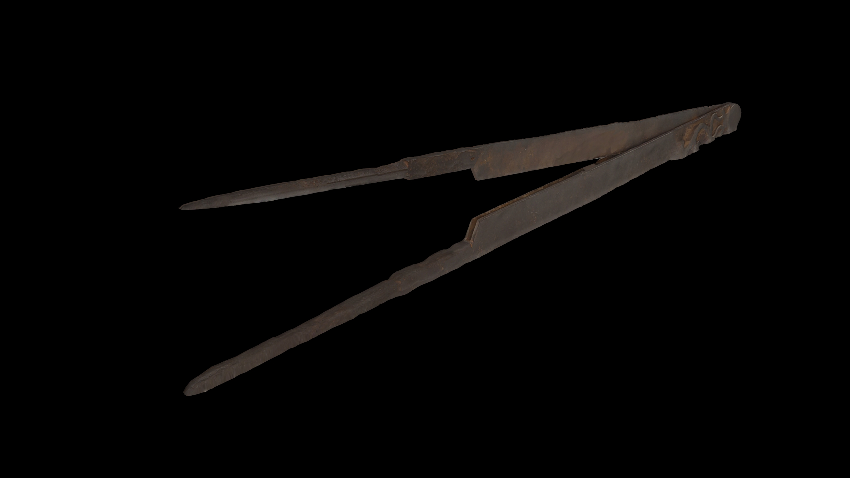
The marine (pair of) compasses, commonly known as compasso or bussola, is a nautical instrument for working on the map. More specifically, it is used as an instrument for measuring, transporting or marking distances, which consists of two straight adjustable legs articulated together that end up in sharp points. They are mainly used in drawing for the precise transportation of dimensions on the nautical maps as well as in various other measurements such as measuring geographical coordinates, target subtyping, and so on. For measuring distances, it is enough to adapt the compasses in such a way so that its legs touch exactly the two points, whose distance we want to measure or transfer.
Measurement of long distances on the map occurs by touching the spikes alternately on the direction previously drawn with the parallel ruler, up until the measured distance has been covered. The number of repetitions multiplied by the length interval, adding to it the last recessive, gives the exact distance. In order to measure the distances in the nautical maps, the width scale of maps is used, which exists on their right and left margin, and is usually opposite the measuring point.

