


Mapping tools are essential for creating accurate and detailed representations of geographic areas. Some of the basic tools used in cartography are the following:
Compass: Used to draw circles and arcs, as well as determine direction on the map.
Ruler and straight line: Essential for drawing straight lines, measuring distances and creating grids.
Protractor: Allows measuring and drawing angles accurately.
Pencil and eraser: For initial sketches and adjustments, pencils are usually used to erase them.
Square: A tool that helps draw horizontal lines and align other instruments for accurate measurements.
Set of Squares: Used for drawing right angles and measuring angles.
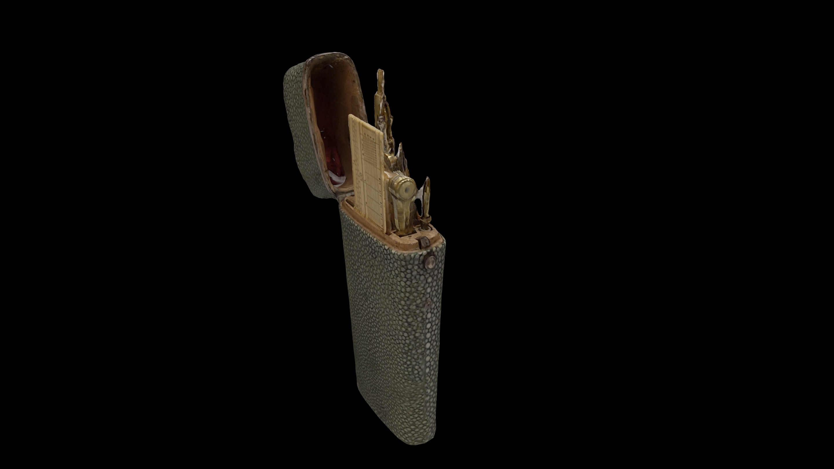
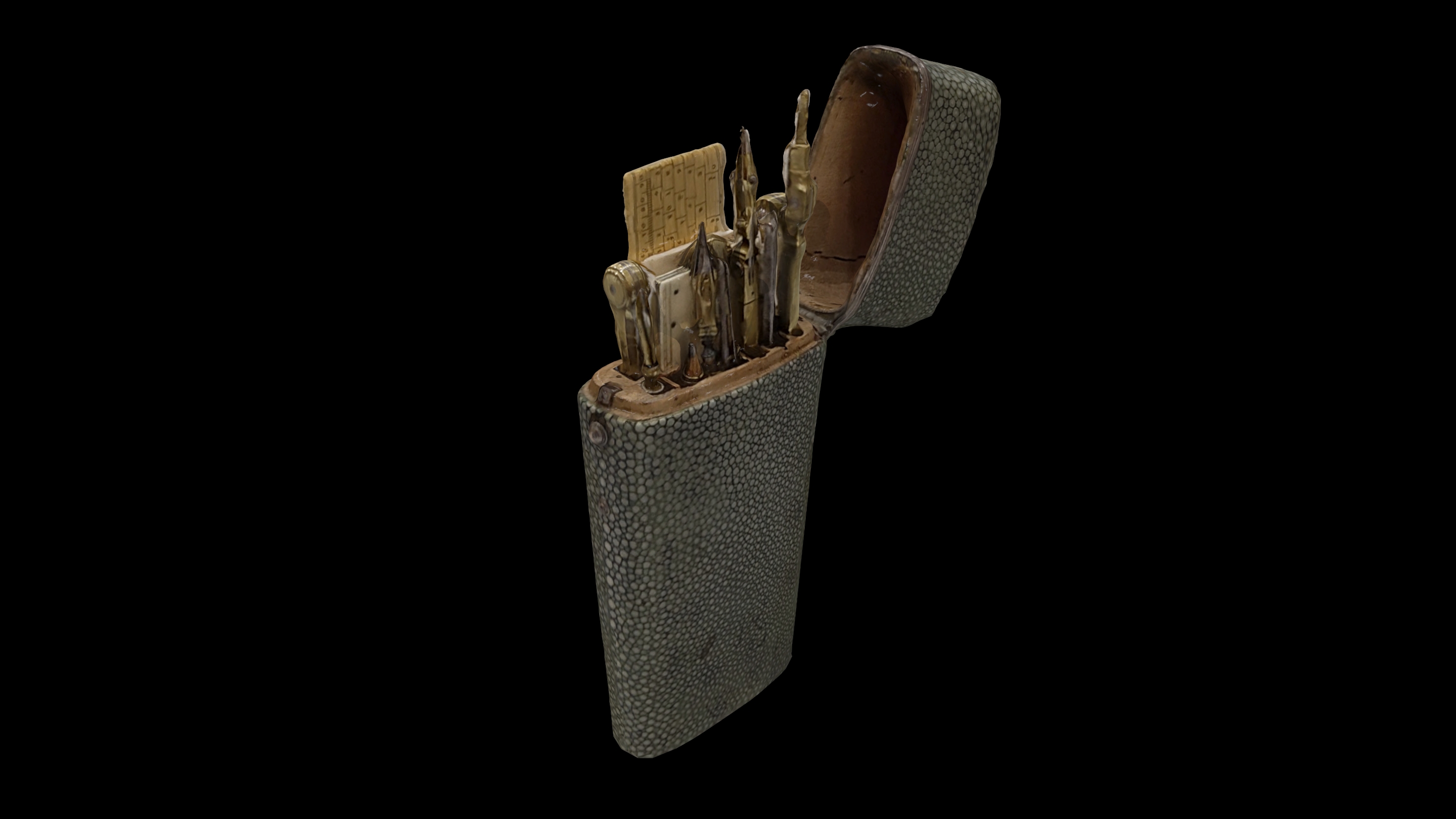
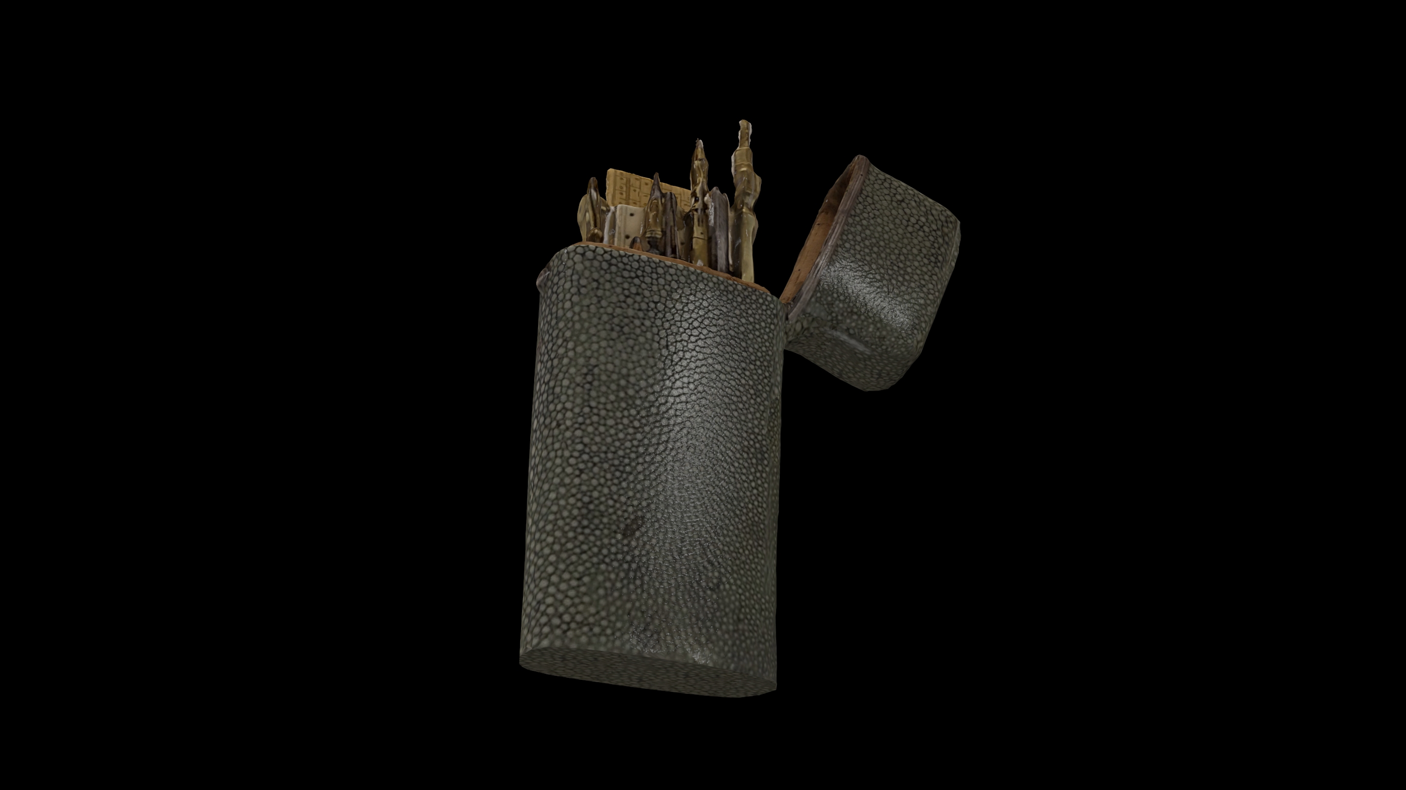
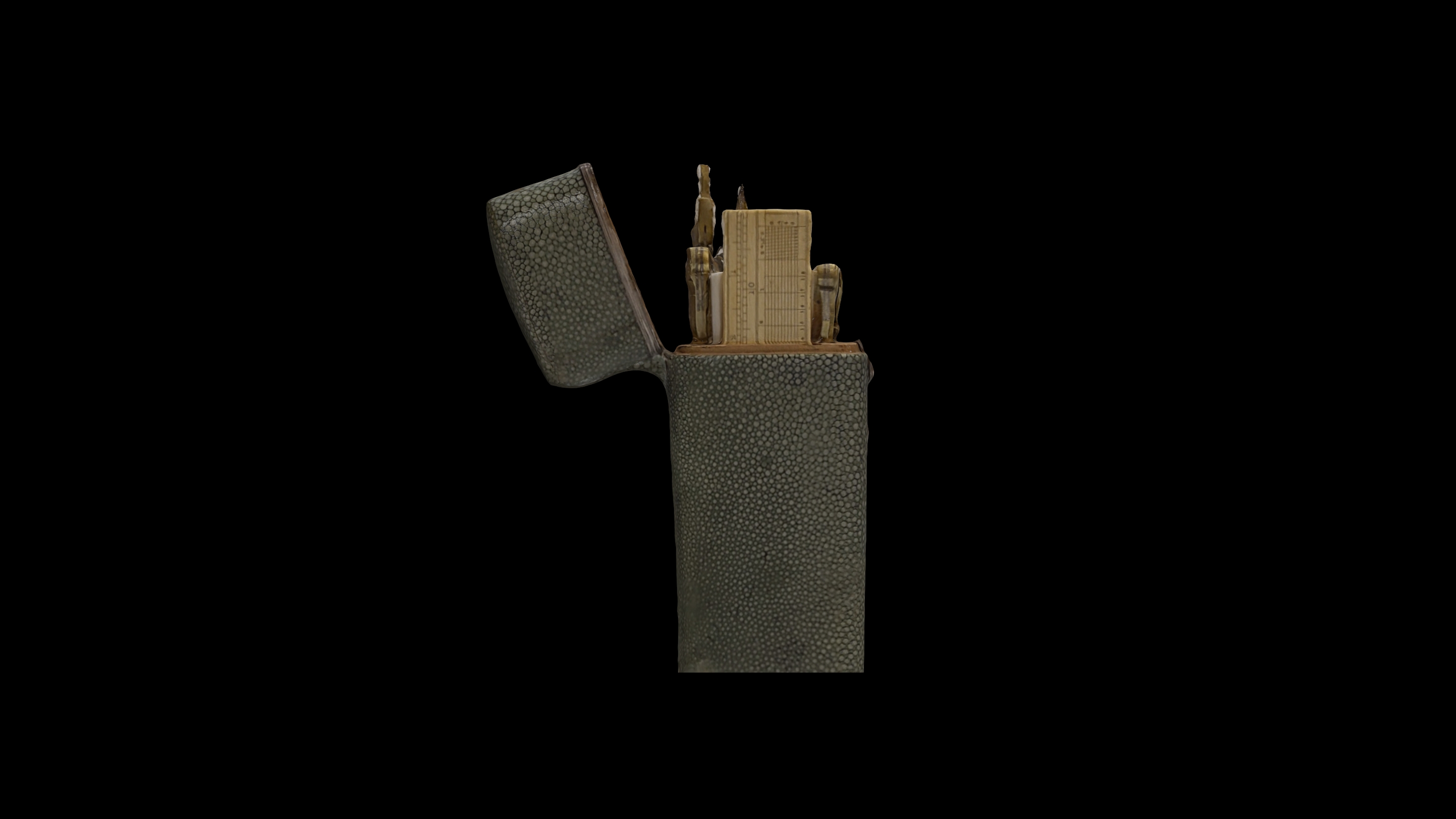
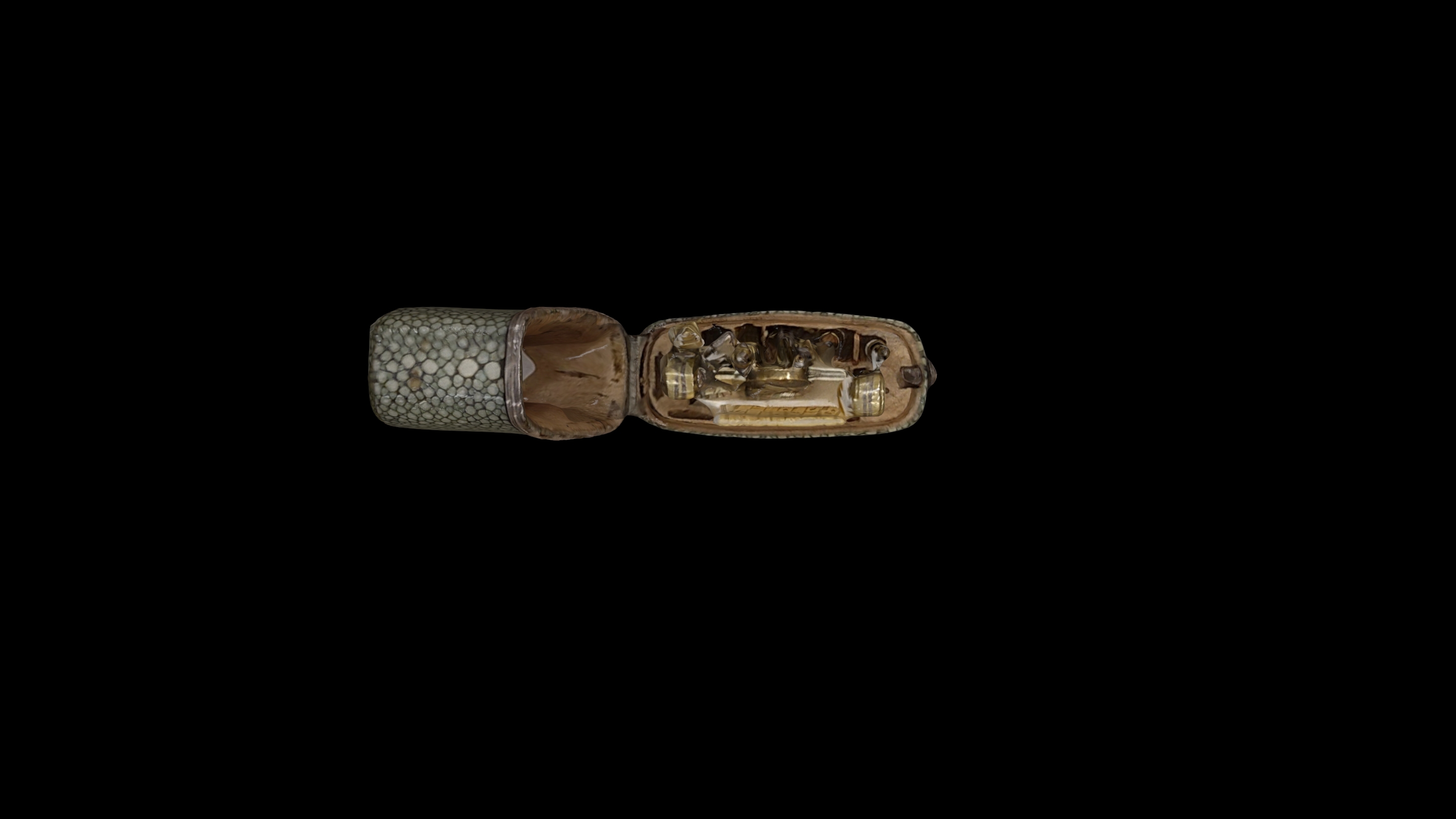
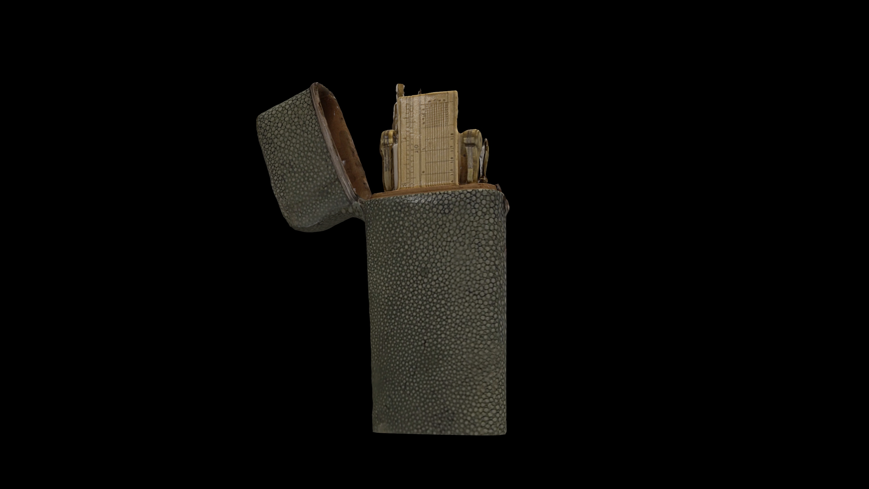
These ograns were particularly expensive and were collectors' items for the officers who kept them in elaborate, expensive cases.
Initially the cases had compartments for specific instruments. But since each user wanted instruments of his choice, later the cases (like the one in the exhibit) were free inside.
The specified instruments come from a renowned London studio. Manufacturer Charles Silberrad ran an optical instrument business in London from 1799 until his death in 1834. He specialized in microscopes and optical instruments, including Culpeper-type compound microscopes, telescopes and barometers. He also manufactured drawing instruments - shipping.

